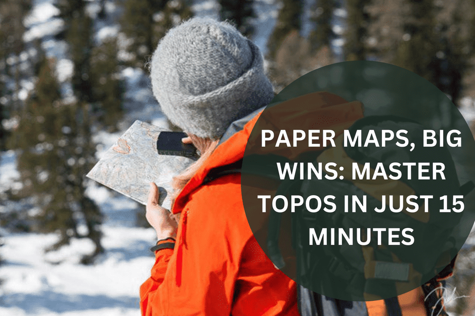
Still pinning all your hopes on a gadget? Batteries fade and signals wander, but a topographic map never ghosts you. Give us a quarter-hour and we’ll have you reading contours with the confidence of a bush-pro, ready to roam any track in Australia.
Contour Lines, Clear Minds: Crack the Code at a Glance
A topographic map turns three-dimensional ground into two-dimensional know-how. The secret? Contour lines, those tidy squiggles that trace ridges, valleys and saddles.
- Contours connect equal height. Follow one line and you stay on the same level.
- Close together means steep. Wider gaps signal a gentler gradient, easy maths for your legs.
- Index lines do the counting. Thicker, labelled lines (100 m, 200 m and so on) let you clock vertical metres fast.
If you’re just getting started or want a quick refresher, Geoscience Australia offers a simple guide on how to read topographic maps, including scales, symbols and contour basics.
Got fifteen spare minutes? Grab a waterproof map of your local trail, circle a ridge (U-shapes pointing downhill), a valley (V-shapes aiming uphill) and a saddle (a subtle dip between peaks). Do that a few times and the page starts talking back, stories of summits to bag and shortcuts to save daylight.
Build Your Map Muscle: Practice That Sticks
Knowledge is nifty; practice is power. Fast-track your skills without a night class:
- Pre-trace your path: Sit down with pen and map, mark your intended route, and note every big climb, creek crossing and campsite.
- Match what you see: On trail, pause, look up, then find the hill, spur or gully on paper. Every alignment sharpens your inner compass.
- Pair bearings with pacing: A Silva compass keeps you pointed true; counting 65–75 steps per 100 metres tells you how far you’ve gone. Combine the two and you’ll predict the next lookout before it appears.
Map + Compass: Full-Scope Confidence
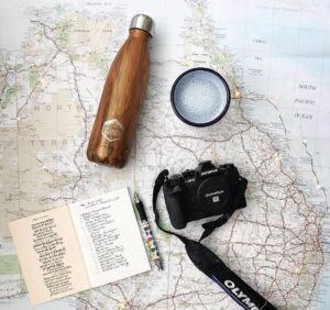
A map shows shape, a compass shows direction. Together they’re an unbeatable duet.
- Orient the sheet: Lay the map flat, align its north with the compass needle, and your paper mirrors the landscape.
- Shoot a bearing: Edge of the compass on the line from ‘here’ to ‘there’, twist the bezel to north, then walk that line in the real world.
- Triangulate like magic: Unsure where you’ve landed? Take bearings to two visible landmarks, draw both lines on the map. The crossover is you. Simple, solid, phone-free.
Map Mastery: Answers You Wanted
- Quickest way to learn contours?
Focus on shapes, not numbers. Study how lines bunch, bend and stretch, then match them to real slopes on an easy Sunday stroll. Recognition soon becomes instinctive. - Do I still need a compass if I carry a GPS?
Absolutely. Tech can fail when clouds roll in or batteries drain. A compass orients your map instantly and weighs less than a muesli bar. - How do I choose the right topo map?
Aim for 1 : 25 000 scale for detail, ensure the sheet covers your entire route, and pick waterproof stock if rain is even a chance. Offtrack keeps regional maps in stock year-round.
Your Trail, Your Call: Step Up Today
Real confidence comes from real skills. Invest fifteen minutes, master contour reading, blend map with compass, and you’ll walk lighter, mentally and physically.
When you’re set to upgrade your kit, explore Offtrack’s curated navigation collection: rugged Silva compasses, high-detail Aussie topos and protective cases built to last for years, not seasons.
Join the Offtrack Community and empower yourself to explore responsibly. Together, we’ll keep pushing past the trailhead, sustainably, confidently, and always with a grin.
Let’s Get Offtrack.