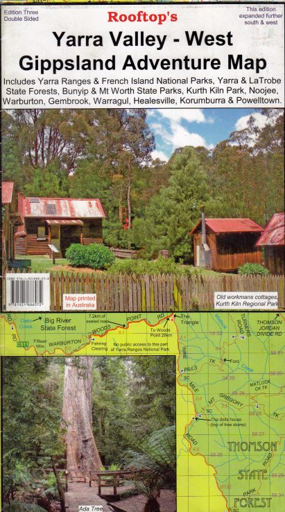

Yarra Valley West Gippsland Rooftop Map

$12.95

Yarra Valley West Gippsland – Rooftop Maps

A Beautiful Part of Victoria Close to Melbourne

Map coverage is from Marysville, Narbethong and Cumberland Junction in the north to Mount Worth, Pakenham and Trafalgar in the south. It includes Yarra Ranges National Park, Bunyip State Park, Yarra State Forest, Gembrook, Kurth Kiln, Noojee, Neerim South, Warragul and Powelltown.

Scale is 1:100,000. The reverse of the map has a 1:50,000 scale enlargement titled ‘ Gembrook – Noojee Forest Activities Map’ with contours.

All parks, reserves and state forests are shown and all roads and tracks have been plotted using GPS mapping technology.

Only 1 left in stock

Secure Payment Options :

Product Specifications

Customer Reviews

Reviews

There are no reviews yet.

Be the first to review “Yarra Valley West Gippsland Rooftop Map”

Related Product

Loadding...