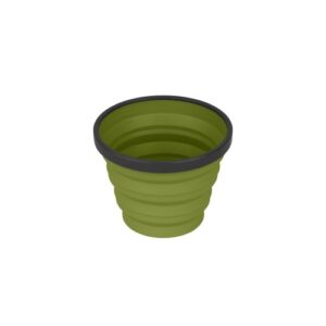
Rooftops
Toolangi Black Range Forest Activities Map
Quote Range
$11.95
Toolangi Black Range Rooftop Map
Between the Maroondah and Melba Highways
Rooftop Maps Toolangi Black Range: Coverage includes Toolangi, Murrindindi, Buxton, Narbethong, Wilhelmina Falls, Stanleys Homestead, Alexandra, T...
Read more
Toolangi Black Range Rooftop Map
Between the Maroondah and Melba Highways
Rooftop Maps Toolangi Black Range: Coverage includes Toolangi, Murrindindi, Buxton, Narbethong, Wilhelmina Falls, Stanleys Homestead, Alexandra, Taggerty, Molesworth, Glenburn, Limestone & Cheviot Tunnel.
Facility symbols include Camping Areas, Caravan Parks, Picnic Areas, Fishing Spots, Lookouts, Fuel and Fire Towers.
The 1:50,000 scale map also includes roads, 4WD, motorcycle and walking tracks, with contours, elevations, and GPS co-ordinates.
New waterproof edition.
Read less
Read moreRead less
Add to quote
Add to Quote
More Detail
Additional product information
| Edition | Edition 3. |
| Publication date | 2015 |
| Map Scale | 1:50,000. |
Product Specifications