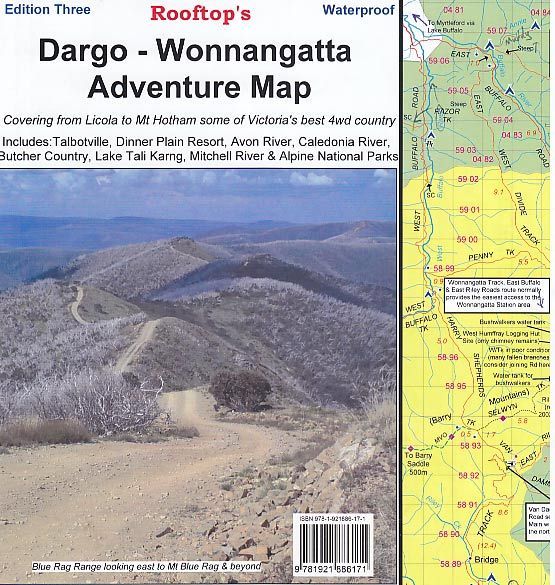
Rooftop Dargo Wonnangatta Adventure Map

$14.95

Dargo Wonnangatta Rooftop Map

Featuring the magnificent Wonnangatta Valley

Map coverage is from Licola to Mount Hotham and from Briagolong to the Buckland Valley and everything in between including access routes into Wonnangatta Station, the Crooked River goldfields, Upper Dargo goldfields and Mitchell River National Park.

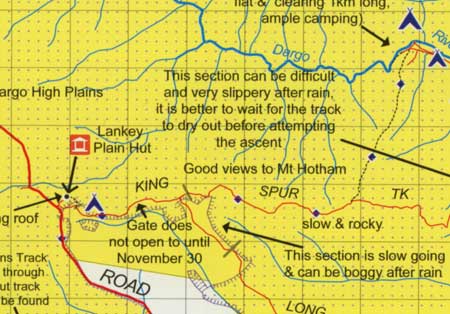
As well as detailed road and track information, there are lots of useful tips and warnings noted agains various tracks. In the heart of the Victorian High Country, Rooftop Maps are a must for 4WD driving, walkers & horse riders.

Scale is 1:100,000. First published last revised in 2006. See extract. The reverse side has a 1:50,000 scale enlargement titles Dargo – Howitt Plains Forest Activities Map providing more detail for Wonnangatta valley, Crooked River and the Howitt Plains near Licola.

Only 1 left in stock

Secure Payment Options :

More Detail

Additional product information

Edition 3rd edition.
Publication date 2015
Map Scale 1:100,000 with 1:50,000 scale enlargement.
Product Specifications

Edition 3rd edition.
Publication date 2015
Map Scale 1:100,000 with 1:50,000 scale enlargement.

Customer Reviews

Reviews

There are no reviews yet.

Be the first to review “Rooftop Dargo Wonnangatta Adventure Map”

Related Product

Loadding...