More Detail
Additional product information
ISBN:
9.78E+12
Size:
296mm x 210mm
Binding:
Staple bound
Publication Date:
2009
Author and/or publisher
Spatial Vision
“Murray River Access Map – Mildura – Ned’s Corner” has been added to your cart. View cart
Murray River Access Map – Mildura – Ned’s Corner
$8.95
- Sales Ends In:
Mildura – Wentworth – Ned’s Corner
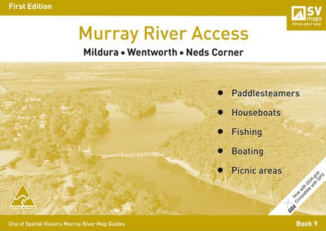
Book of detailed forest maps from Mildura to Ned’s Corner showing forests access tracks, camping areas, beaches, boat ramps etc. Now with GDA and compatable with GPS. Featuring Mildura, Buronga, Dareton, Merbein, Curlwaa, Wentworth, Fort Courage, Moorna State Forest, Ned’s Corner, Wallpolla Island, Locks 9 andamp; 10.
Only 2 left in stock
- Spend $100 or more to receive Free Shipping
Secure Payment Options :
Product Specifications
ISBN:
9.78E+12
Size:
296mm x 210mm
Binding:
Staple bound
Publication Date:
2009
Author and/or publisher
Spatial Vision
Customer Reviews
Be the first to review “Murray River Access Map – Mildura – Ned’s Corner” Cancel reply
You must be logged in to post a review.
Related Product
$329.99 – $359.99Price range: $329.99 through $359.99
$279.95 – $309.95Price range: $279.95 through $309.95
$279.95
$3.99 – $4.99Price range: $3.99 through $4.99
$34.95


Reviews
There are no reviews yet.