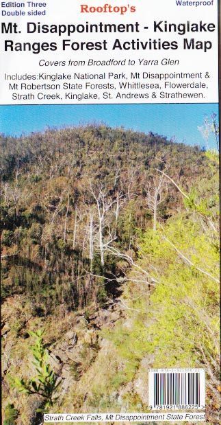
Mt Disappointment Kinglake Forest Activities Map Rooftop

$10.95

Mt Disappointment Kinglake Forest Activities Map Rooftop

Featuring Mount Disappointment Forest

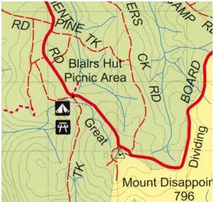
Coverage includes Reedy Creek, Wandong, Upper Plenty, Mount Disappointment, Hazeldene, Flowerdale, Strath Creek Falls, No.1 Camp, Blair’s Hut etc.

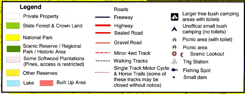
Facility symbols include Camping Areas, Picnic Areas, Lookouts and Fishing Spots.

The 1:50,000 scale map also includes, roads, vehicle, motorcycle and walking tracks, contours, elevations, and GPS co-ordinates with an inset of the Strath Creek falls area.

Also Featuring Kinglake National Park

Coverage includes Kinglake West, East and Central, Steels Creek, Strathewen, Pheasant Creek, Masons Falls, Mt Jerusalem, Mount Robertson, West Bridge, Wombelano.

Facility symbols include Camping Areas andamp; Wineries.

The 1:50,000 scale map also includes, roads, vehicle, motorcycle and walking tracks, contours, elevations, and GPS co-ordinates.

New waterproof edition.

Out of stock

Secure Payment Options :

More Detail

Additional product information

Edition Edition 3.
Publication date 2015
Map Scale 1:50,000 scale.
ISBN 9.78E+12

Product Specifications

Edition Edition 3.
Publication date 2015
Map Scale 1:50,000 scale.
ISBN 9.78E+12

Customer Reviews

Reviews

There are no reviews yet.

Be the first to review “Mt Disappointment Kinglake Forest Activities Map Rooftop”

Related Product

Loadding...