
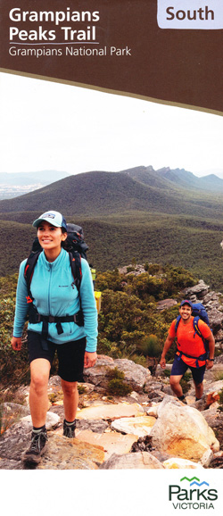
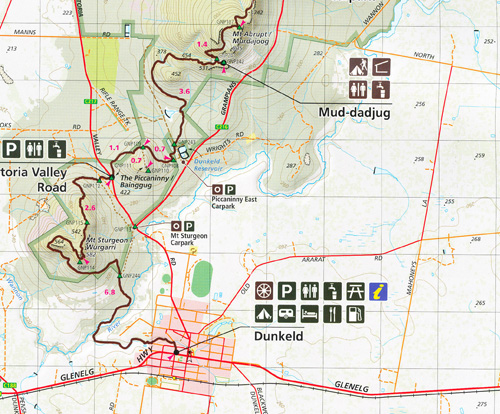
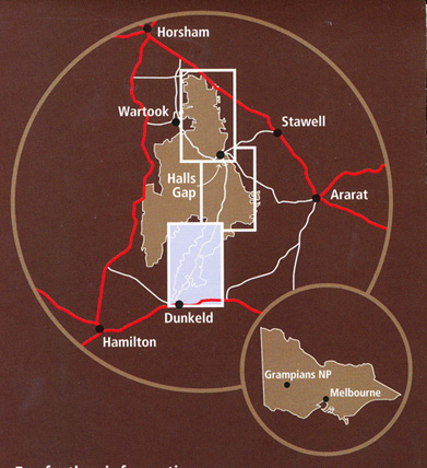
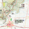


Jimmy Creek Campground, Mt Nelson, Mt Burchell, Mirranatwa Gap, Yarram Gap Road, Wannon, Griffin Fireline, Mt Nybor, Djardji Dwawara, Brady Swamp, mbtg, Cassidy Gap Road, Mt Abrupt, Mud dadjug, Victoria Valley Road, Dunkeld, Mt Sturgeon The Picaninny BainggugMore Detail


- Out of Stock
Original price was: $899.95.$540.00Current price is: $540.00.
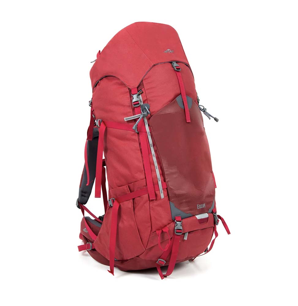
- Out of Stock
$579.95
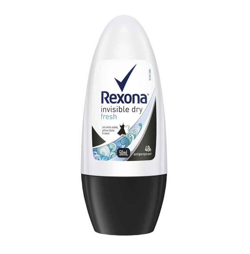

- Out of Stock
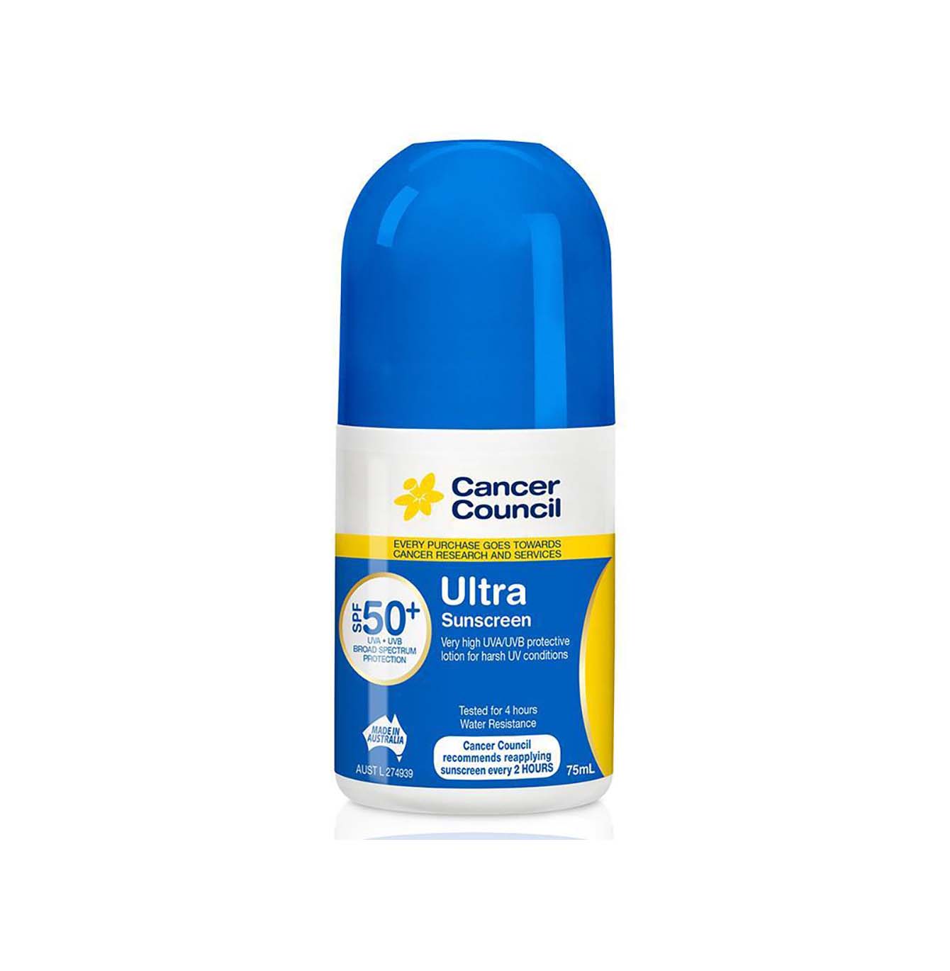
- Out of Stock
$12.95

$1.00
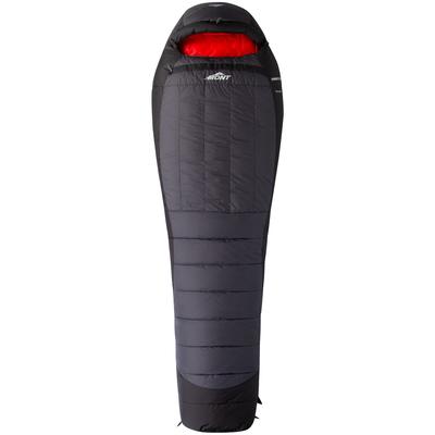
- Out of Stock
Price range: $1,169.95 through $1,239.95
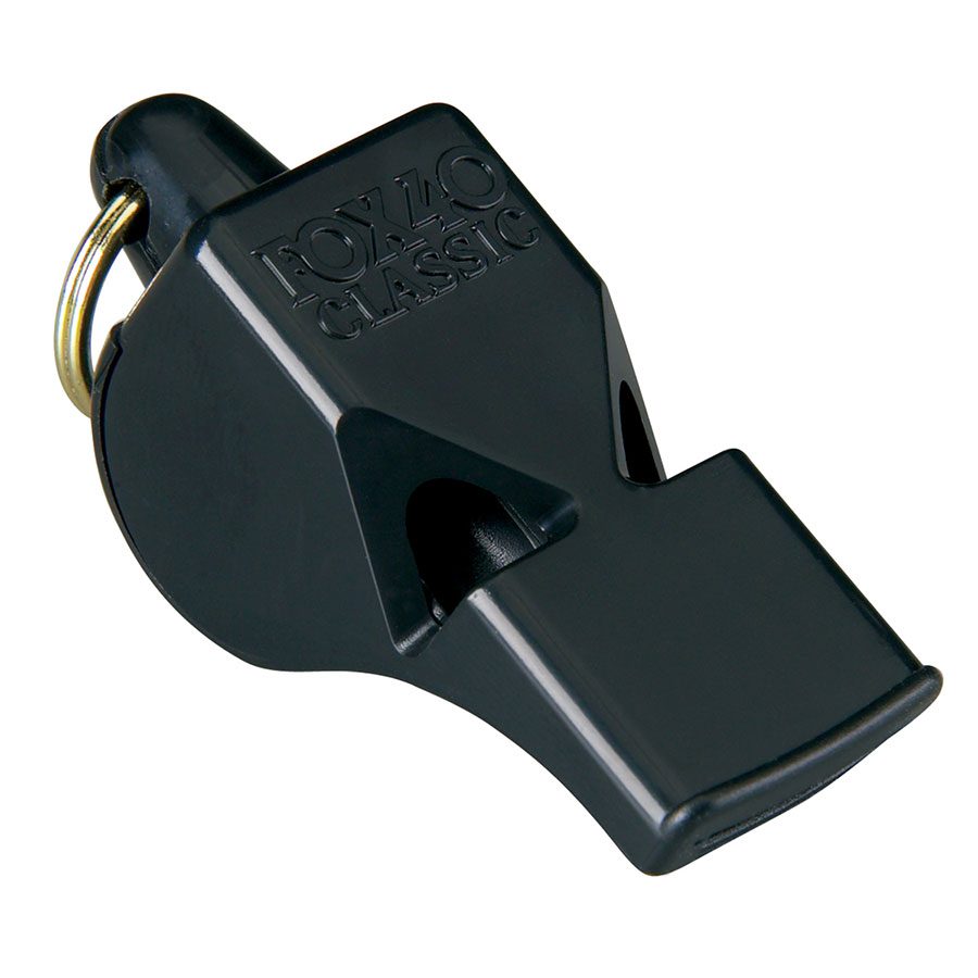
$15.95

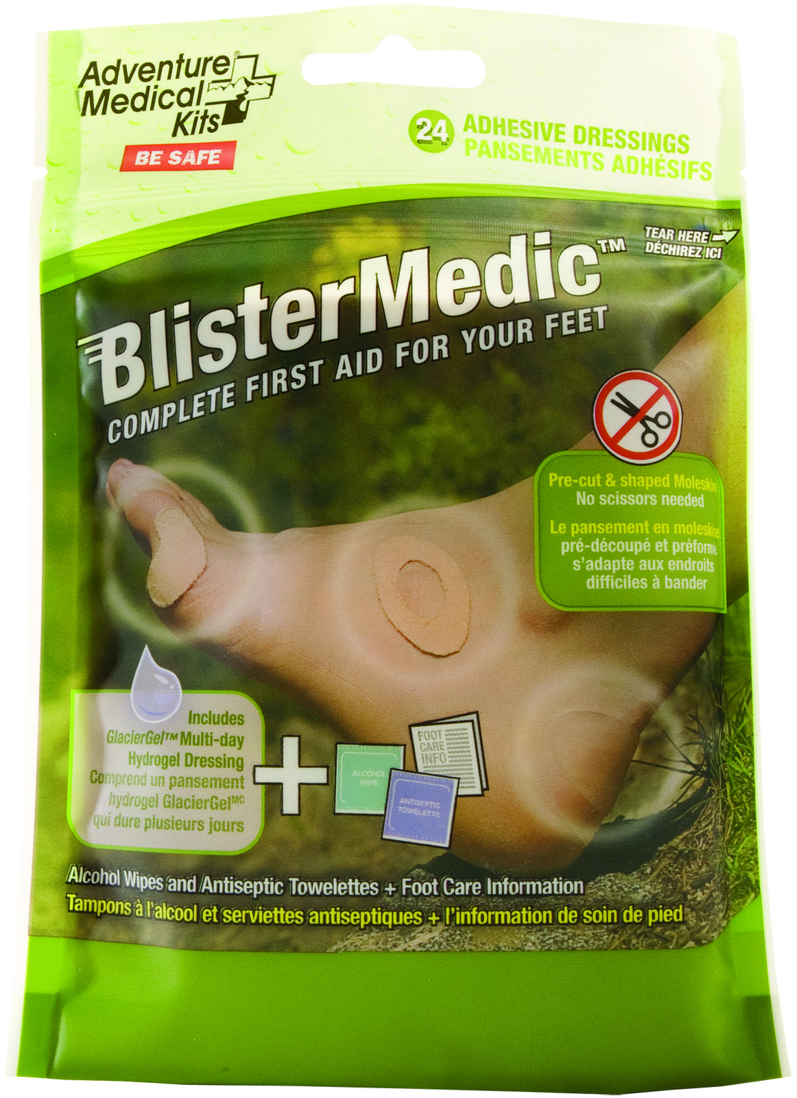
$26.95

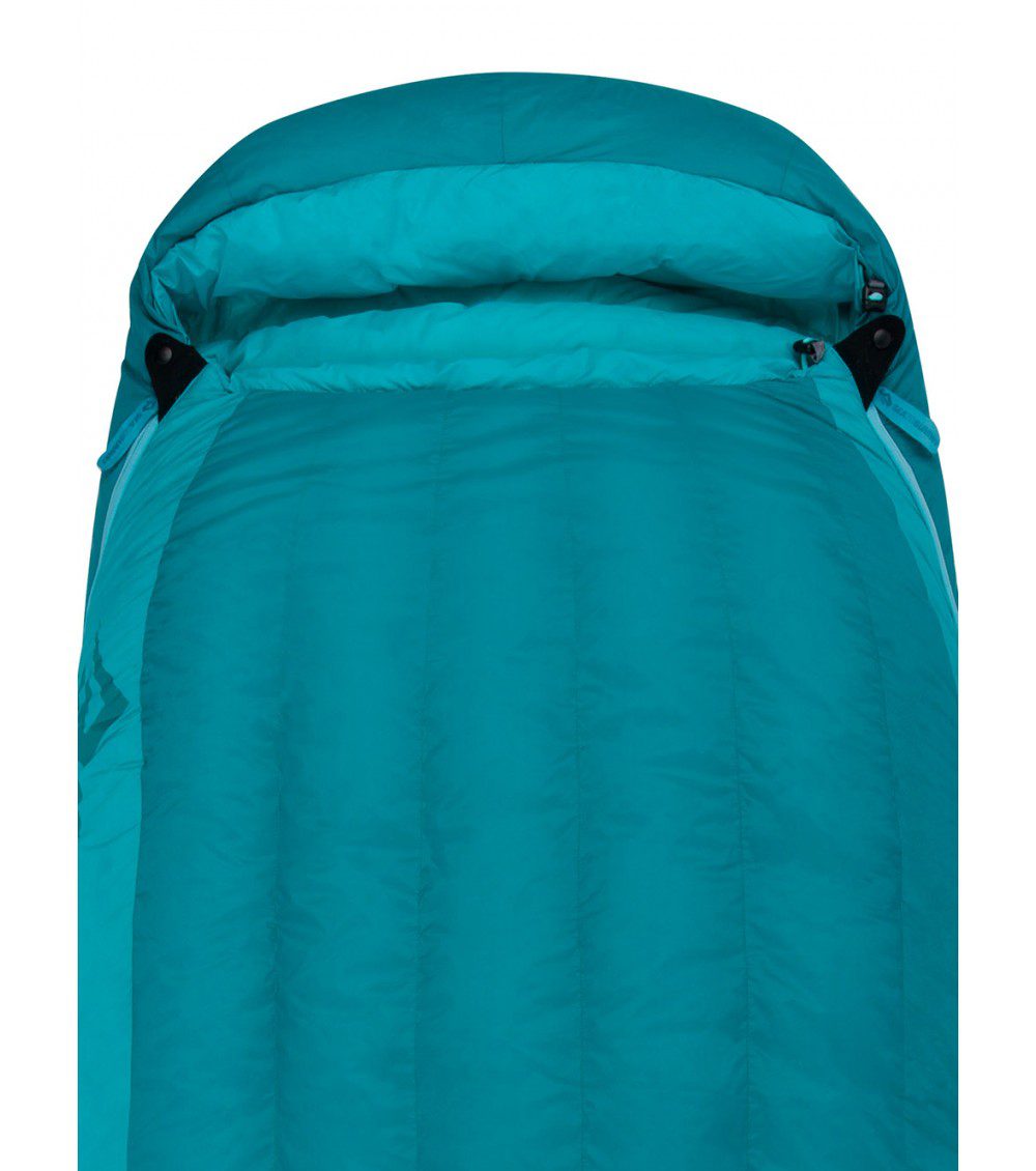
- Out of Stock

- Out of Stock
Price range: $3.99 through $4.99

- -44%
Original price was: $17.99.$10.00Current price is: $10.00.

- Out of Stock

Reviews
There are no reviews yet.