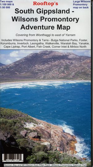

South Gippsland – Wilsons Promontory Adventure Map
$11.95 – $25.00Price range: $11.95 through $25.00
- Sales Ends In:
Rooftop’s South Gippsland Wilsons Promontory
Wilsons Promontory Forest Activities map on the reverse
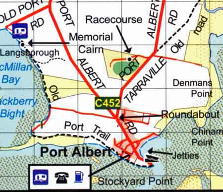
Map coverage includes Wilsons Promontory and Tarra – Bulga National Parks, Foster, Korumburra, Inverloch, Leongatha, Walkerville, Waratah Bay, Yanakie, Cape Liptrap, Port Albert, Fish Creek, Corner Inlet, Mirboo North, Yarram, Woodside and Wonthaggi. Scale is 1:100,000.
The reverse of the map has a 1:50,000 scale enlargement titled ‘Wilsons Promontory Forest Activities Map’ with contours.
All parks, reserves and state forests are shown and all roads and tracks within the map area have been plotted using GPS mapping technology. All walking tracks in Wilsons Promontory National Park have been recently field checked with detailed plots showing camp sites, navigational notes and important features.
- Spend $100 or more to receive Free Shipping
Secure Payment Options :
Product Specifications
| Lamination | Paper, Laminated |
|---|
Customer Reviews
You must be logged in to post a review.
Related Product
$279.95 – $309.95Price range: $279.95 through $309.95
$579.95
$1,169.95 – $1,239.95Price range: $1,169.95 through $1,239.95
$1,119.95 – $1,159.95Price range: $1,119.95 through $1,159.95
$399.95
$34.95
$24.99


Reviews
There are no reviews yet.