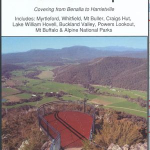
Rooftops
Mt Feathertop & Mt Bogong Forest Activities Map
Quote Range
Sale!
$15.95 $12.00
Rooftop Map Mt Feathertop & Mt Bogong.
Covering Victoria’s 2 highest mountains, all the walking tracks are shown on this map. Also covers Mt. Hotham.
Add to quote
Add to Quote
More Detail
Two separate maps.
Main side:
- South – Mt St Bernaud 1532m. & Mt Hotham Village.
- North – North West Spur Walk 476m. elevation & North Razorback Walk 1560m. elevation.
Reverse side:
- South – Falls Creek & Johnston Hut.
- North – Trappers Gap 1010m. elevation & Staircase Spur Walk.
- Inset – Mulhauser Spur Link Map.
- Bogong Village.
Scale: 1:30,000
Product Specifications